Hike @ Lake Chabot Regional Park on 2025-06-07 - 2025-06-08
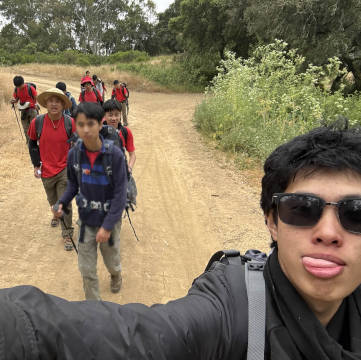
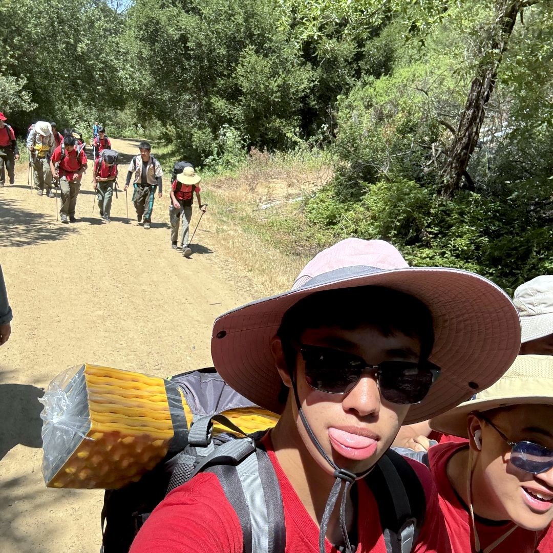
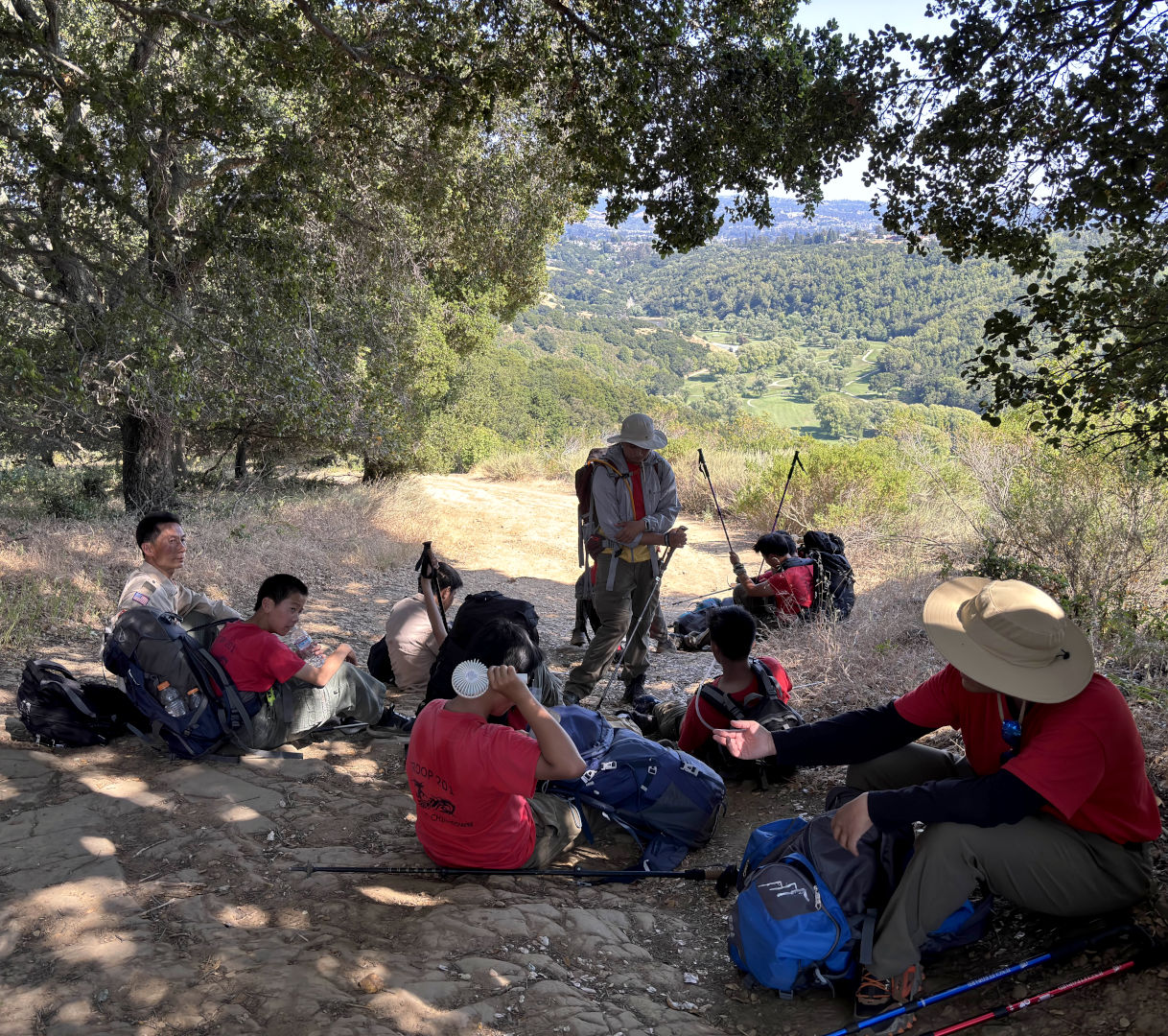
This hike was for hiking merit badge. It was also troop 201's current member's first overnight hike. Instead of hiking with only food and water and finishing with a day like every other hike, this hike required the troop to carry camping equipment and set up camp to resume the hike the next day.
Weeks before the hike, every scout was required to create a route plan using a modified version of Naismith's rule. Allegedly, everyone, including adult leadership, made a mistake in some way:
- Confusing Columbine trail with Honker Bay trail
- Using a much higher speed than realistically achievable
- Failing to list junctions
- Considering descent
- Mentioning irrelevant trails like Quail trail
- Entering Grass Valley trail at the wrong point
The route was altered two times for some reason.
As tradition dictates, the troop was led the wrong way at the beginning for less than half a mile. After that, the troop had no notable problems. The first segment was altered during the hike and was slightly slower than expected. The second segment was slightly faster than expected.
Original plan
The original plan called for a hike far longer than any in living memory. The first segment went around the entire lake and the second segment went halfway across the lake.
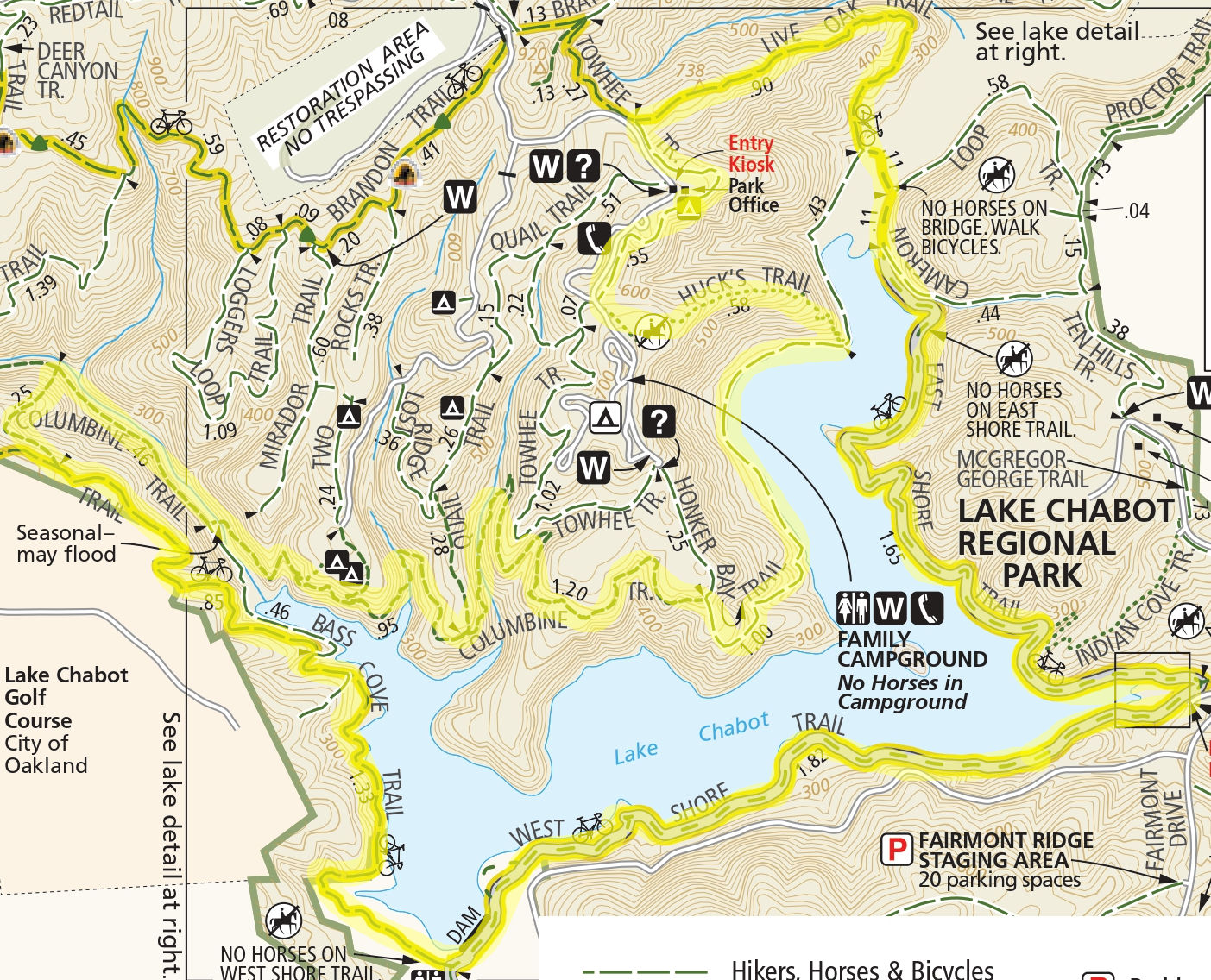

| Time | Activity | Location | Distance in miles | Height gain in feet | Lapse time in hours |
|---|---|---|---|---|---|
| 6/7 11 am | Assembly | Puma Point Campsite | 0 | 0 | 0 |
| 11 am | Hike | Towhee trail | 0.275 | 100 | 0.3 |
| 11:20 am | Hike | Live Oak trail | 1.01 | -340 | 0.506 |
| 11:50 am | Hike | Cameron Loop trail | 0.11 | 0 | 0.0366 |
| 11:53 am | Hike | East Shore trail | 1.65 | 0 | 0.55 |
| 12:26 pm | Hike | West Shore trail | 1.82 | 0 | 0.606 |
| ??? | ??? | ??? | ??? | ??? | ??? |
| 1:32 pm | Hike | Bass Cove trail | 1.7 | 0 | 0.596 |
| 2:07 pm | Hike | Columbine trail + Honker Bay trail | 3.15 | 200 | 1.15 |
| 3:16 | Hike | Huck's trail | 1.13 | 300 | 0.525 |
| 3:47 | Set up camp | Puma point campsite | 0 | 0 | 0 |
| 6/8 8am | Hike | Towhee trail | 0.27 | 150 | 0.165 |
| 8:10 am | Hike | Brandon trail | 3.46 | -100 | 1.203 |
| 9:22 am | Hike | Grass Valley trail | 1.73 | 0 | 0.576 |
| 9:52 am | Lunch | Bort Meadow Group Camp | 0 | 0 | 0.5 |
| 10:30 am | Hike | Grass Valley trail | 0.25 | 0 | 0.08 |
| 10:35 am | Hike | Macdonald trail | 2.77 | 360 | 1.0733 |
| 11:40 am | Hike | Macdonald staging area | 0 | 0 | 0 |
Shortened plan
For some reason, the path was shortened. The first segment no longer went around the lake. The second segment remained the same.
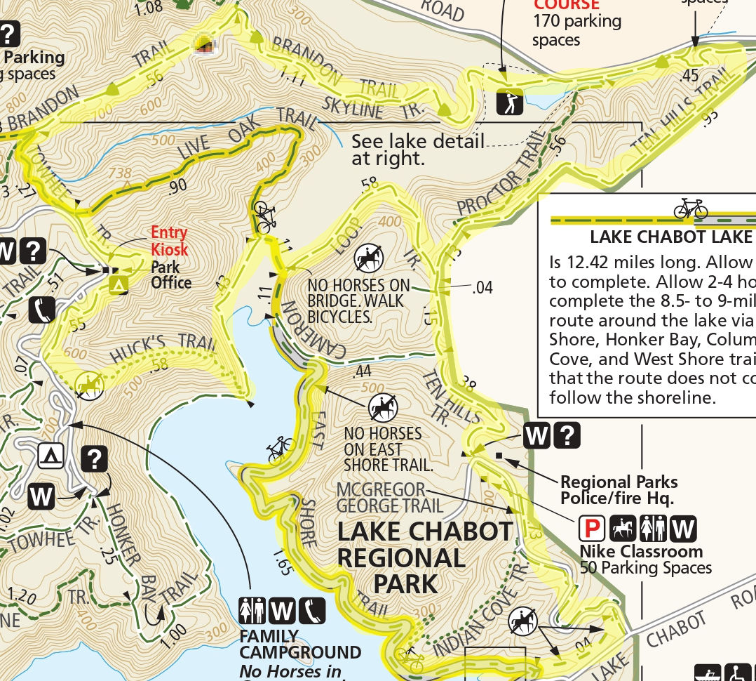
| Time | Activity | Location | Distance in miles | Height gain in feet | Lapse time in hours |
|---|---|---|---|---|---|
| 6/7 11am | Assembly | Puma Point Campsite -> Towhee Trail | 0 | 0 | 0 |
| 6/7 11:15 | Hike | Towhee Trail to Brandon Trail | 0.52 | -50 | 15min |
| 6/7 12:15 | Hike | Brandon Trail Head SE to Ten Hill Trail | 2.12 | -400 | 1hour |
| 6/7 13:00 | Hike | Ten Hills Trail to McGregor George Trail | 1.63 | 0 | 45min |
| 6/7 13:28 | Hike | McGregor George Tr. to East Shore Trail | 0.77 | 100 | 28min |
| 6/7 14:13 | Hike | East Shore Tr. to Cameron Loop Trail Head E | 1.65 | 0 | 45mins |
| 6/7 14:31 | Hike | Cameron Loop Tr. Head E to Cameron Loop Trail | 0.44 | 100 | 18min |
| 6/7 14:56 | Hike | Cameron Loop Tr. to Live Oak Trail | 0.77 | -100 | 25min |
| 6/7 15:14 | Hike | Live Oak Tr. to Huck's Trail | 0.54 | 100 | 18min |
| 6/7 15:43 | Hike | Huck's Tr. to Puma Point | 0.88 | 50 | 29min |
| 6/7 7:00 PM | Dinner | Puma Point Campsite | 0 | 0 | 0 |
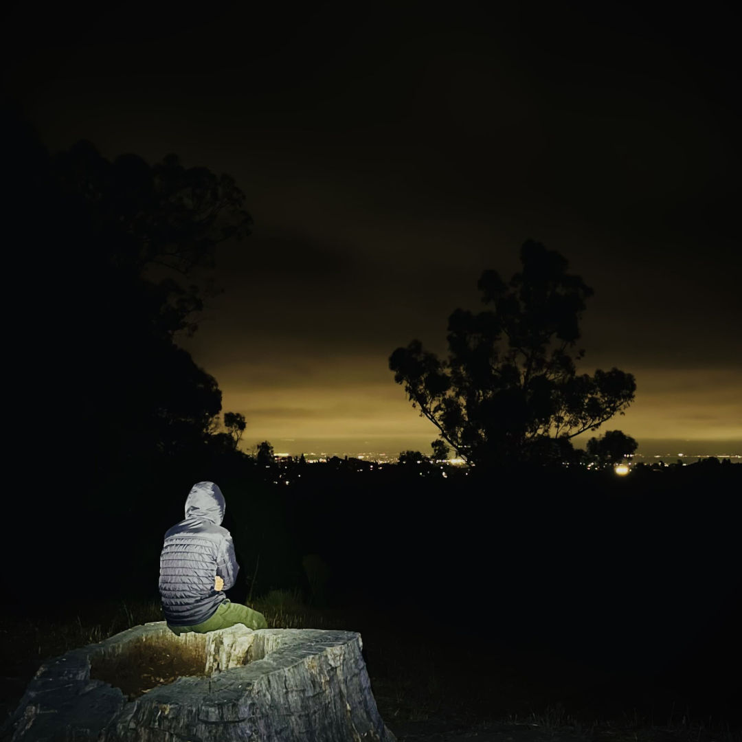
| 6/7 9:00 PM | Stargazing | Puma Point Campsite | 0 | 0 | 0 |
| 6/8 7:00 PM | Breakfast and Pack Up | Puma Point Campsite | 0 | 0 | 0 |
| 6/8 8:30 AM | Hike | Puma Point to Brandon NW | 0.52 | 300 | 21min |
| 6/8 8:51 | Hike | Brandon Tr. Head NW to Grass Valley Tr. | 3.21 | -400 | 1hr 45m |
| 6/8 10:36 | Hike | Grass Valley Tr. To Bort Meadow Group Camp | 1.72 | 100 | 48min |
| 6/8 11:24 | Lunch | Bort Meadow Group Camp | 0 | 0 | 30min |
| 6/8 12:00 | Hike | Bort Meadow Group Camp to Mac Donald Trail | 0.25 | 0 | 7min |
| 6/8 12:07 | Hike | Mac Donald Trail to Mac Donald Staging Area | 2.88 | 100 | 1hr 35m |
| 6/8 1:42 PM | Leave | Mac Donald Staging Area | 0 | 0 | 9hr 19m |
Actual path
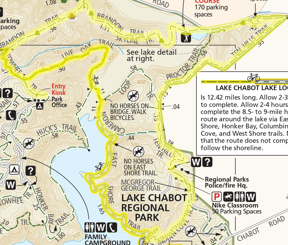
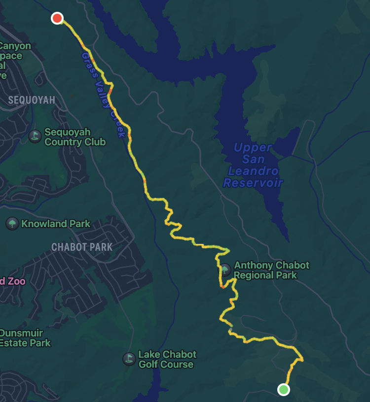
While hiking, the plan was significantly shortened. Huck's trail and West Shore trail were avoided. Instead of completing McGregor George, Indian Cove trail was used. The hike terminated at Bort Meadow Group Camp instead of Macdonald staging area.


Images

Views: 94
Replies coming soon